Some satellite images of Paul Morphy's Neighborhood
(as it exists today)


All images below were provided by the remarkable "Google Earth" tool, available for free download at earth.google.com


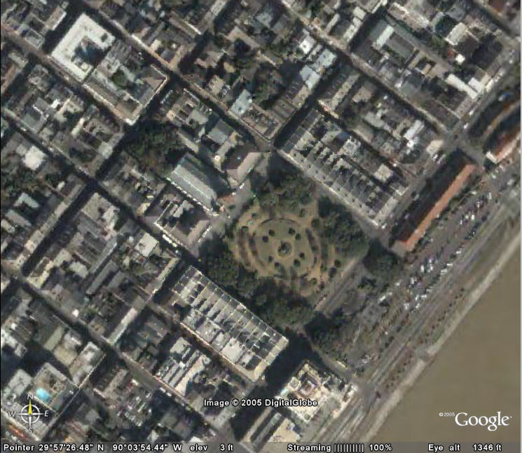
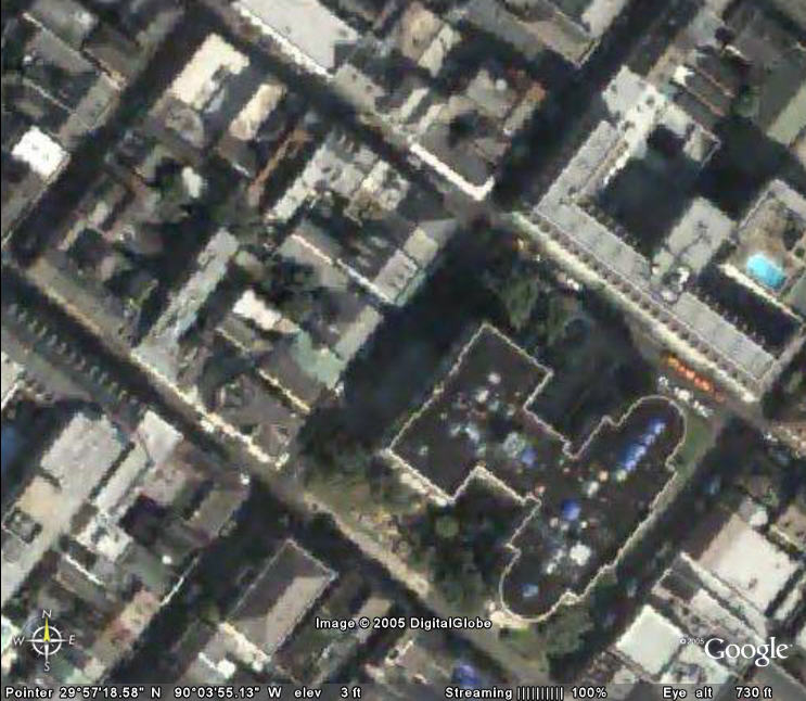
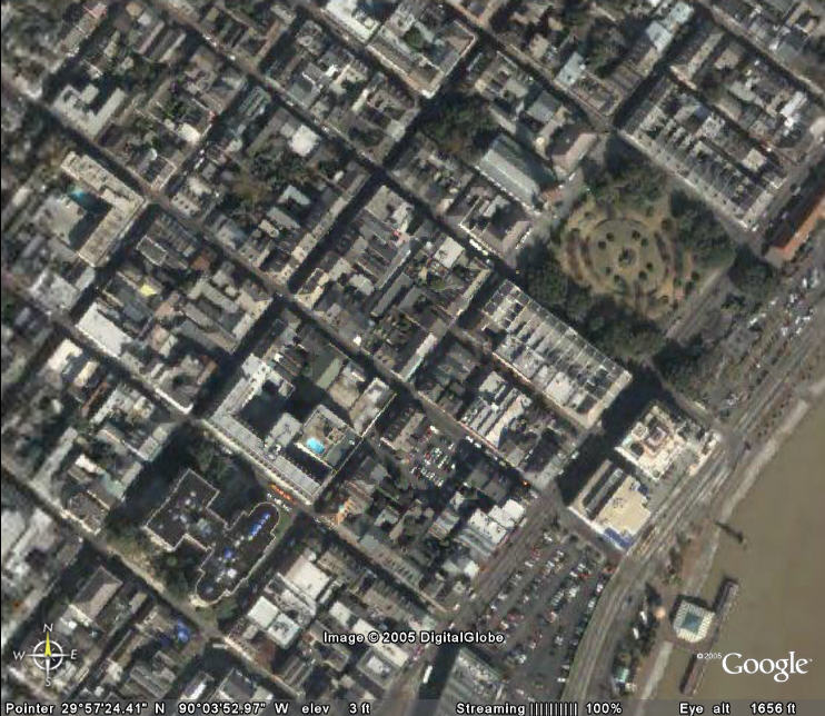
Aerial photo of Paul Morphy's immediate neighborhood

courtesy of earth.google.com

NOTE: Satellite images tend to exaggerate the brownish colors of regions, including bodies of water. Even places that are beautifully green or waterways that are blue may appear somewhat drab in a satellite image.


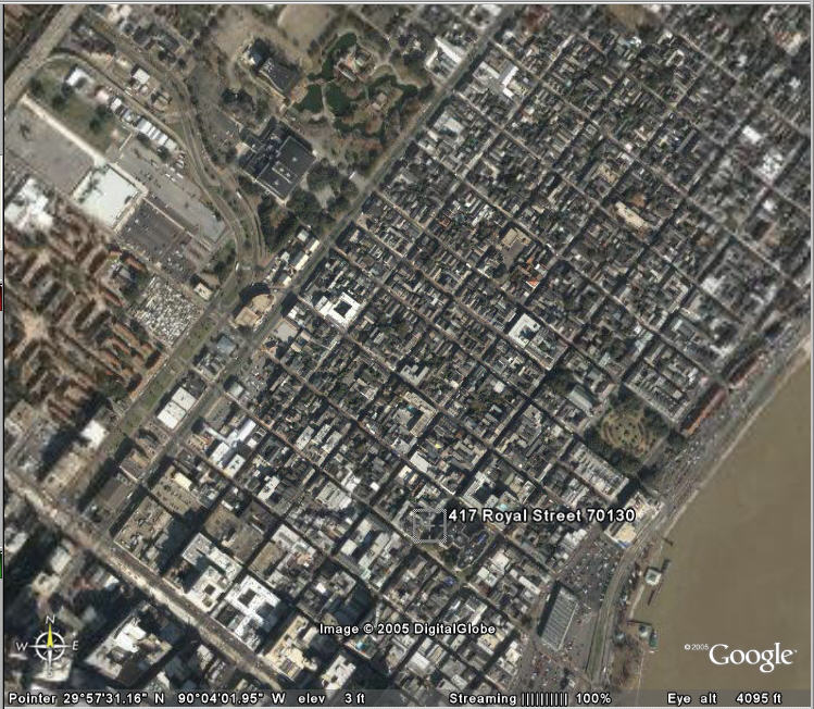
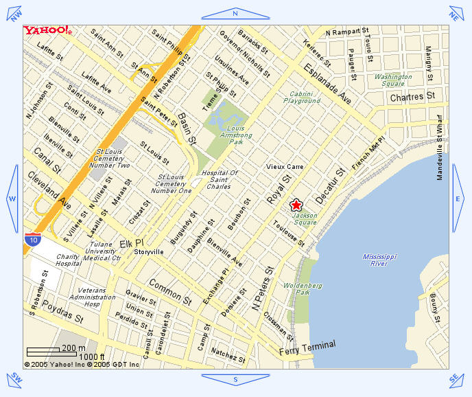
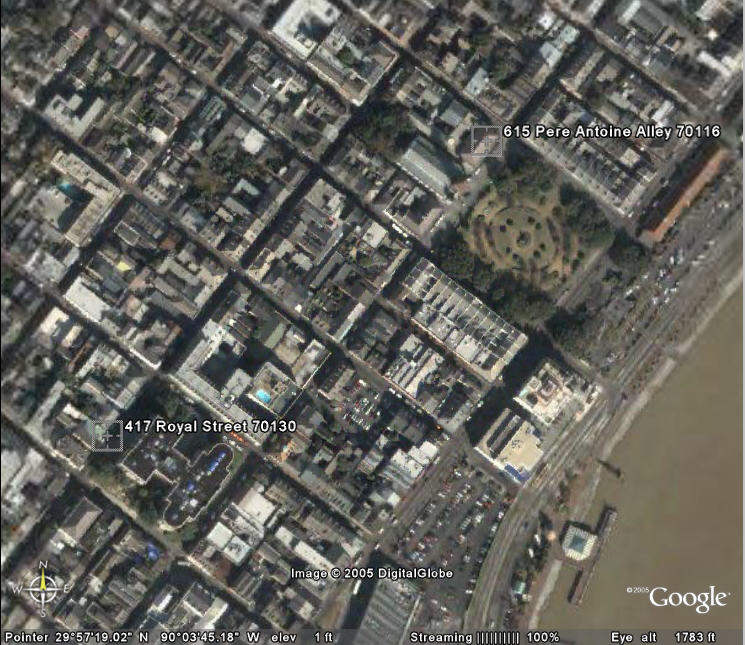
Please Note: The marker in the image above ("417 Royal Street") indicates the location of Mr. Morphy's former home. The red star on the map below does NOT indicate Mr. Morphy's home, but rather the location of the St. Louis Cathedral. The map view is somewhat "further out" than the photo view.

Regional map courtesy of yp.yahoo.com


Detail of the St. Louis Cemetery No. 1


Detail of Jackson Square, the St. Louis Cathedral, and adjoining buildings


Detail of Paul Morphy's former home, now at 417 Royal Street


Detail of Paul Morphy's former home without the address indicator


Detail of the path between Paul Morphy's former home and the St. Louis Cathedral (615 Pere Antoine Alley)
I believe the Cathedral is the adjacent building to the southwest of the indicated address: directly in line with the "oval" of Jackson Square. The administrative mailing address of record may not indicate the Cathedral's physical location correctly.


Detail of the path between Paul Morphy's former home and the St. Louis Cathedral (no labels shown)